Citations
Running Reality requires that all historical material in the form of factoids has a citation so that the veracity of each data point can be verified by the Running Reality review board and also by any user or visitor. The web version of Running Reality has some access to citation data and the app version has full citation details. Personal timelines that are local to a user's own computer do not need citations.
Non-Historical Materials
- Map tiles are a combination of data:
- The pixel colors are made with Natural Earth II.
- The shorelines are NOAA World Vector Shoreline data.
- The terrain shadings are NASA Shuttle Radar Tomography Mission (SRTM) elevation data hosted by USGS.
- The continental drift is from GPlates.
- Textures (that are not generated by Running Reality) are from textures.com
- Icons (that are not drawn by Running Reality) are sourced primarily from iconfinder.com, in particular:
The Anatomy of a Citation
An example of a historical citation in the XML format:
<Citation cite="Wikipedia" name="Wikipedia" copyright="open_source" url="http://en.wikipedia.com/" />
Historical Citations
These are the citations of the historical reference works used within Running Reality:
"null"
"Troia VR"
Beaulieu, Sr de. "Plan de la ville et chateau de Sirck en Lorraine : assiegé et prise par l'armée du roy commandée par Monseig.r le le Duc d'Anguien general des armées du roy en Flandre et Luxembourg le 3.e septem. 1643" (1643)
Discover Magazine. "Discover Magazine"
George Lamb. "1635 Bendells Cove Boston Map by George Lamb" (1635)
"null"
"null"
Rabinowitz, Adam, Ryan Shaw, Sarah Buchanan, Patrick Golden, and Eric Kansa. "PeriodO"
Shanghai Shi Cehuiyuan. "1994 Map of Pudong - Pudong Xinqu Lujiazui Jinrong Maoyi Qu Shiyi Tu" Zhonghua Ditu Xueshe Chubanshe(1994)
"null"
"Professor Lowe Flies High in Falls Church, Virginia" (06/27/2011)
Jean-Baptiste du Halde. "Geographical, Historical, Chronological, Political, and Physical Description of the Empire of China and Chinese Tartary" (1735)
"1762 Plan of Portsmouth England" (1762)
Marco Polo and Rustichello da Pisa. "The Travels of Marco Polo" (1300)
"null"
"null"
"null"
"null"
"null"
"null"
"null"
"null"
"1849 Map of St Louis" (1849)
"null"
Engel, Brückner. "Holocene climate variability of Mesopotamia and its impact on the history of civilisation" California Digital Library (CDL)(2022)
"null"
Jean-Philippe Goiran, H Delile, J Blichert. "Demise of a harbor: A geochemical chronicle from Ephesus" Journal of Archaeological Science(2015)
"null"
"null"
"Gyeongju Dohoe Jwatongjido 18th Century Map of Gyeonju" (1700)
"null"
"null"
Pengfei Wu, Dexin Liu, Jianhua Ma, Changhong Miao, Lingling Chen, Lei Gu, Jianhong Tong. "A Geoarchaeological Reading of the City-Overlap-City Phenomenon in the Lower Yellow River Floodplain: A Case Study of Kaifeng City, China" Sustainability, 11(4), p.1029(2019)
David H Burr. "1839 Map of New York Exhibiting the Post Offices Post Roads Canals Rail Roads Etc By David H Burr" John Arrowsmith(1839)
Claude Guillot, Lukman Nurhakim, Sonny Wibisono. "BANTEN: Sebelum Zaman Islam Kajian Arkeologi di Banten Girang 932? - 1526" (1997)
"Rettel"
Gaius Julius Caesar. "The Conquest of Gaul by Julius Caesar, Translation by Handford and Gardner " (1983)
"null"
"University of Delaware Archive" (2003)
"null"
"10.5281/zenodo.4334448" Zenodo
"Pleiades"
JB Carter . "The evolution of the city of Rome from its origin to the Gallic catastrophe" Proceedings of the American Philosophical Society(1909)
"null"
"null"
"The Atlas of the Civil War" (2010)
"null"
"null"
"null"
Sir James Marwick. "1547 Sir James Marwick Map of Glasgow" (1547)
"null"
"null"
"null"
Augustus Koch - Hughes Litho Co.. "1891 Koch Wall Mural Map of Seattle" (1891)
"Erie Canal.org" (2010)
"null"
Gaedechens, C.F. Historische Topografie der Freien und Hansestadt Hamburg. "1320 Map of Hamburg Karte des rekonstruierten Grundrisses von Hamburg im Jahre 1320" (1880)
"null"
"Korea Institute Harvard University" (2006)
Arjen P Stoeven et al. . "Deglaciation of Fennoscandia, Quaternary Science Reviews" (2015)
"null"
"Antonine Itinerary" (10)
"null"
P Niewöhner . "An Ancient Cave Sanctuary underneath the Theatre of Miletus, Beauty, Mutilation, and Burial of Ancient Sculpture in Late Antiquity, and the History of the Seaward …" (2016)
"Thomas Legion Cherokee History" (2005)
Hilton. "Plan of Cherbourg with the Forts and Batteries when taken by the British in August 1758" Geographical Dictionary(1758)
"1867 Plano de Montevideo" (1867)
"null"
Ted E. Bunch, et. al.. "A Tunguska sized airburst destroyed Tall el-Hammam a Middle Bronze Age city in the Jordan Valley near the Dead Sea" Nature(09/20/2021)
James Gibson. "1769 Plan of the City of Philadelphia with the Country Adjacent" (1769)
"null"
"1750 Plan of Schenectady" (1750)
Paul Letarouilly. "Le Vatican 1882, Paul Letarouilly" (1882)
Matthias Souter. "1744 Map of Saint Petersburg" (1744)
"John White and Theodore De Bry Map of Virgina 1590" (1590)
"iSicily"
"null"
"null"
"null"
Polybius. "The Histories of Polybius"
"null"
"Wikipedia and Match to Adjacent Objects Combination"
Georges Duby. "Historical Atlas"
"null"
"null"
"1918 Plan of Jaffa Reproduced by the Survey of Egypt" Palestine Pocket Guide-Books Cairo The Palestine News 1918 Vol 1 34 V 1245(1918)
"10.5281/zenodo.4385230" Zenodo
"Hernan Cortez In Tlaxcala" (2016)
"null"
Oluf Nielsen. "Kjobenhavns Historie og Beskrivelse I Kjobenhavn i Middelalderen Copenhagen 1877" (1877)
Chalres F. Hoffmann and J. D. Whitney. "1873 Composite Map of The Region Adjacent to The Bay Of San Francisco" (1873)
Il Yeon. "Samguk Yusa Memorabilia of the Three Kingdoms " (1281)
Sang-Mog Lee and Daniel Robineau. "The Cetaceans of the Neolithic Rock Carvings of Bangu-dae and the Beginning of Whaling in the North-West Pacific" L'Anthropologie(2004)
"Public Library of Science" PLOS
"Mayflower History Website" (2010)
Rev. Daniel Vrooman. "1860 Map of the City and Entire Suburbs of Canton" American Board of Commissioners for Foreign Missions(1860)
"null"
"null"
"null"
"Bamboo Annals" (300BC)
"Match to Adjacent Border"
.jpg)
L Verdonck, A Launaro, F Vermeulen, M Millett . "Ground-penetrating radar survey at Falerii Novi: a new approach to the study of Roman cities" Cambridge University Press(2020)
"null"
Alfred Theodore Andreas. "History of Chicago - Andreas" (1883)
"null"
"null"
Du Halde. "Villes de la Province de Kiangnan - Towns of the Province of Jiangnan" La Haye's edition of Du Halde's Description of China, Vol. I, p. 149(1735)
"null"
"null"
Susan Naquin. "Peking Temples and City Life 1400-1900" (2000)
"null"
Erico M Fant. "Disseration Historica De Ecclesia Teutonica Et Templo S:tae Gertrudis Stockholmiensi" (1917)
"null"
"1828 Map of Pittsburg, From View of the United States " (1828)
"1894 Plan of Pyongyang and Environs" (1894)
"null"
Simon J Martenet. "1860 Annapolis Map of Simon J Martenet" (1860)
"null"
"null"
"null"
"Baidu Maps" (2010)
"null"
"1950 Map of Wonsan" (1950)
"null"
"Ancienne Ville De Cherbourg et le Chateau demoli en 1689" (1689)
"null"
General Post Office. "1830 Map of Edinburgh " (1830)
"null"
Allmand, Christopher. "Allmand, Christopher, The Hundred Years War: England and France at War c.1300-c.1450" (1988)
"null"
.jpg)
Warner and Hanna. "1801 Warner and Hanna Map of Baltimore" (1801)
Georg Braun and Frans Hogenberg. "Braun and Hogenberg 1572 Map of Naples" Civitates Orbis Terrarum Band 1 1572(1572)
"null"
"null"
Pliny the Elder - Gaius Plinius Secundus. "Natural History - Pliny the Elder - Naturalis Historia" (77)
James H. Rees. "1851 Rees Map of Cook and DuPage Counties" (1851)
"1834 Map of the City and Suburbs of Canton" (1834)
J. J. Stoner, Beck and Pauli Litho Milwaukee Wis. "1884 Birds Eye View of the City of Seattle WT Puget Sound" (1884)
"null"
"Domesday Book" (1086)
Rafael Mitjana. "Planta de Malaga Arabe 1800s Map of Arab Malaga"
Roman Empire. "Peutinger Map, Tabula Peutingeriana" (10)
"null"
Braun and Hogenberg. "1572 Braun and Hogenberg Map of Antwerp" (1572)
"null"
Alexander G Findlay . "Classical Atlas of Ancient Geography" (1849)
"FIRST ENCOUNTERS SPANISH EXPLORATIONS IN THE CARIBBEAN AND THE UNITED STATES, 1492–1570" Library Press @ UF(02/26/2018)
"Penn Museum Lagash Project" (2019)
Destian Pandu Dwicahyo Santoso Putro, Ghilman Assilmi. "Archaeology of Roads: A Case Study of The 18th-Century Surosowan–Tasikardi Old Road in Banten Lama as The Sultan’s Road" Wacana Journal of the Humanities of Indonesia(2025)
Brian Hayden . "The Opening of Keatley Creek: Research Problems and Background" Simon Fraser University (2000)
Wang Zhongshu. "Han Civilization, Yale University Press" (1982)
"null"
"null"
Tavernier, Melchior. "Tavernier, Melchior, Plan du siège de Nancy par l'armée française en 1633" (1633)
"null"
"Map of Luoyang in the Early Modern Era" (1910)
"null"
"10.5281/zenodo.4386203" Zenodo
"Ravenna Cosmography" (700)
Joseph Charless. "1819-1820 Map of St Louis" (1820)
"1915 Map of the Environs of Hong Kong and Kowloon" (1915)
"1822 Map of St Louis" (1822)
Mark Waghorn. "First evidence of Julius Caesar’s invasion of Britain discovered in Kent" Independent UK(11/27/2017)
"null"
"null"
"Notitia Dignitatum" (390)
"null"
"null"
"null"
"null"
"null"
"null"
"null"
London Magazine. "Plan of the Battle of Plassey by Robert Clive" (1757)
"1815 Map of Saigon" (1815)
D W Leverington and J T Teller. "Paleotopographic Reconstructions of the Eastern Outlets of Glacial Lake Agassiz" Canadian Journal of Earth Sciences(2003)
"null"
"null"
"null"
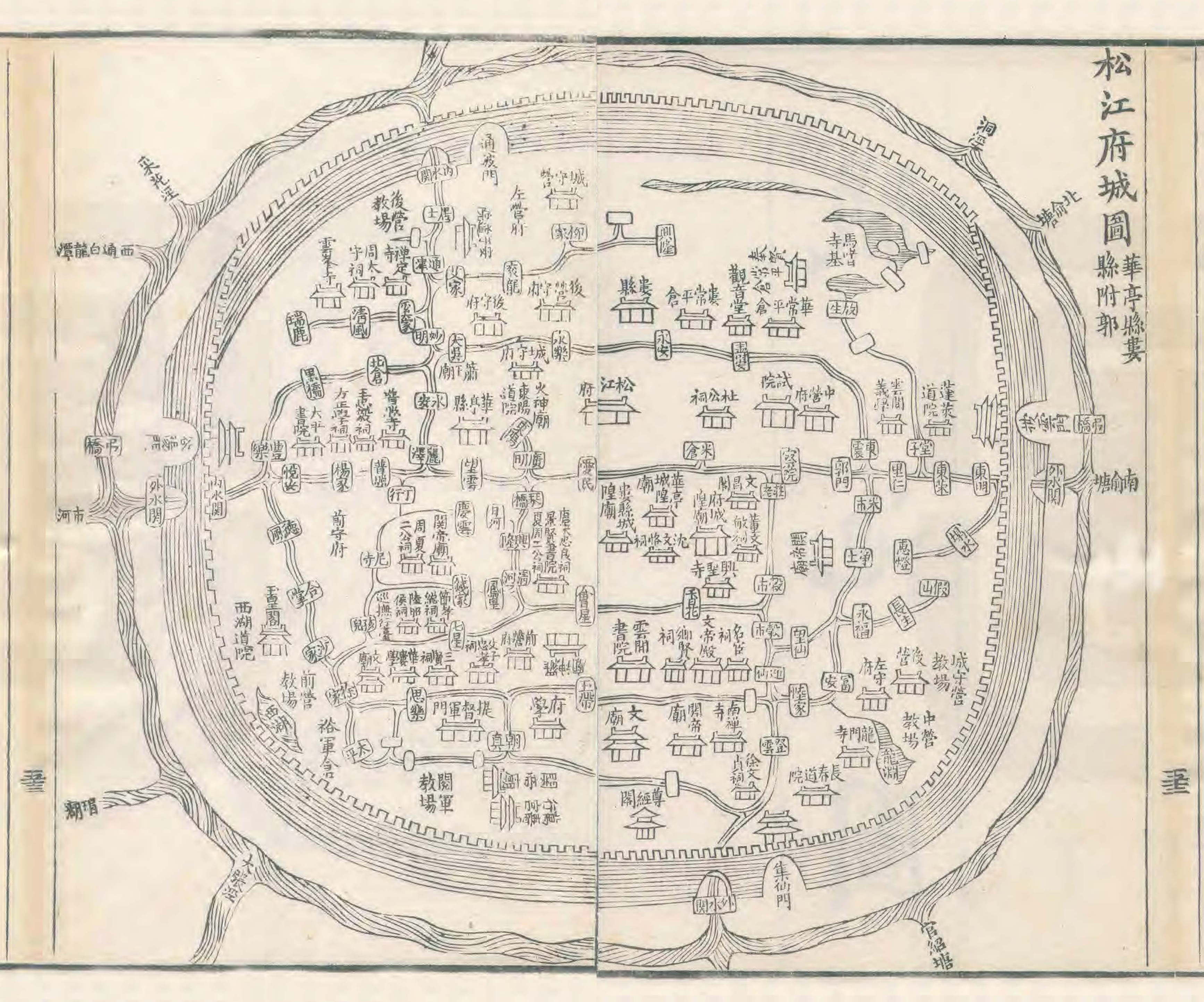
"City of Songjiang in 1818" (1818)
Chongqing Municipatlity. "1243 Map of the Battle of Diaoyucheng"
"NASA Blue Marble Satellite Imagery" (2011)
"null" Zenodo
"null"
"null"
"null"
"null"
"null"
"null"
"null"
"null"
Edward O. C. Ord and William Rich Hutton. "1849 E.O.C. Ord First Map of the City of Los Angeles" (1849)
"null"
Ian Mladjov. "University of Michigan Dept of History, Mladjov"
"null"
"null"
Meredith Reba, Femke Reitsma, Karen Seto. "Spatializing 6,000 years of global urbanization from 3700 BC to AD 2000" (06/07/2016)
Livy - Titus Livius. "History of Rome - Livy - Ab Urbe Condita - From the Founding of the City" (9BC)
"null"
Lieut. Jackson Published by Henry Colburn. "Plan of the Town of Singapore by Lieut Jackson" (1828)
"null"
A D Bache F R Hassler Edmund Blunt James Ferguson. "1845 United States Coast Survey of New York Bay Harbor" United States Coast Survey(1845)
"null"
Royal Society of Canada. "Plan of the City of Halifax, Nova Scotia, showing the radius of the blast from the explosion" (1917)
"null"
"null"
"Atlas of World History (Oxford)" (2005)
Staford's Geological Establishment. "1904 1914 and 1919 Maps of the Foreign Settlements at Shanghai" North-China Daily News and Herald(1904)
Hudson Institute of Mineralogy. "Minedat.org"
Georg Braun and Franz Hogenberg. "1572 Braun and Hogenberg Map fo Paris from Civitates Orbis Terrarum" Civitates Orbis Terrarum(1572)
"null"
Tre Publishing House. "1867 Map of Saigon from Ky Uc Lich Su Ve Sai Gon Va Cac Vung Phu Can" (1867)
"Atlas of World History (Haywood)" (1997)
Jihyun Geographical Insititute and Shao Cheng. "Shanghai Xin Ditu - The New Map of Shanghai 1925-1945" Shanghai Huabao Chubanshe(1925)
"null"
"Chronicles Japanese History Website" (2010)
E S Glover. "1879 Portland Oregon Bird's Eye View Looking East to the Cascade Mountains" (1879)
J Thomson Esq. "1822 A New Correct Plan of the Town of Belfast" (1822)
"null"
"null"
"null"
"null"
"1872 Map of Pusan" (1872)
"null"
"A Plan of Albany as it was in 1752" (1752)
"null"
"null"
"null"
Franck Goddio. "Franck Goddio"
"null"
Prag. "Funerary inscription for Marcus Avianius Pistianus, Maria Eupraxia and Marius Eutychianus" Zenodo
H F Walling. "1851 Map of the Towns of Gloucester and Rockport Essex Co Massachusetts" (1851)
O M Poe, W. T. Sherman, E. Molitor and R. Delafield. "1864 Map Illustrating the Siege of Atlanta Ga" (1865)
"1860 Califronia State Atlas" (1860)
"null"
"10.5281/zenodo.4385795" Zenodo
"null"
"1654 Map of Reims France" (1654)
"null"
"null"
Braun and Hogenberg. "1617 Braun and Hogenberg Map of York" (1617)
"null"
"null"
"null"
"1907 Taipei Plan" (1907)
"null"
Yioutsos. "The last occupation of Asine in Argolis" Editorial Committee of the Swedish Institutes at Athens and Rome (ECSI)(2017)
William Edgar. "A Plan of the City and Castle of Edinburgh 1742" (1742)
"null"
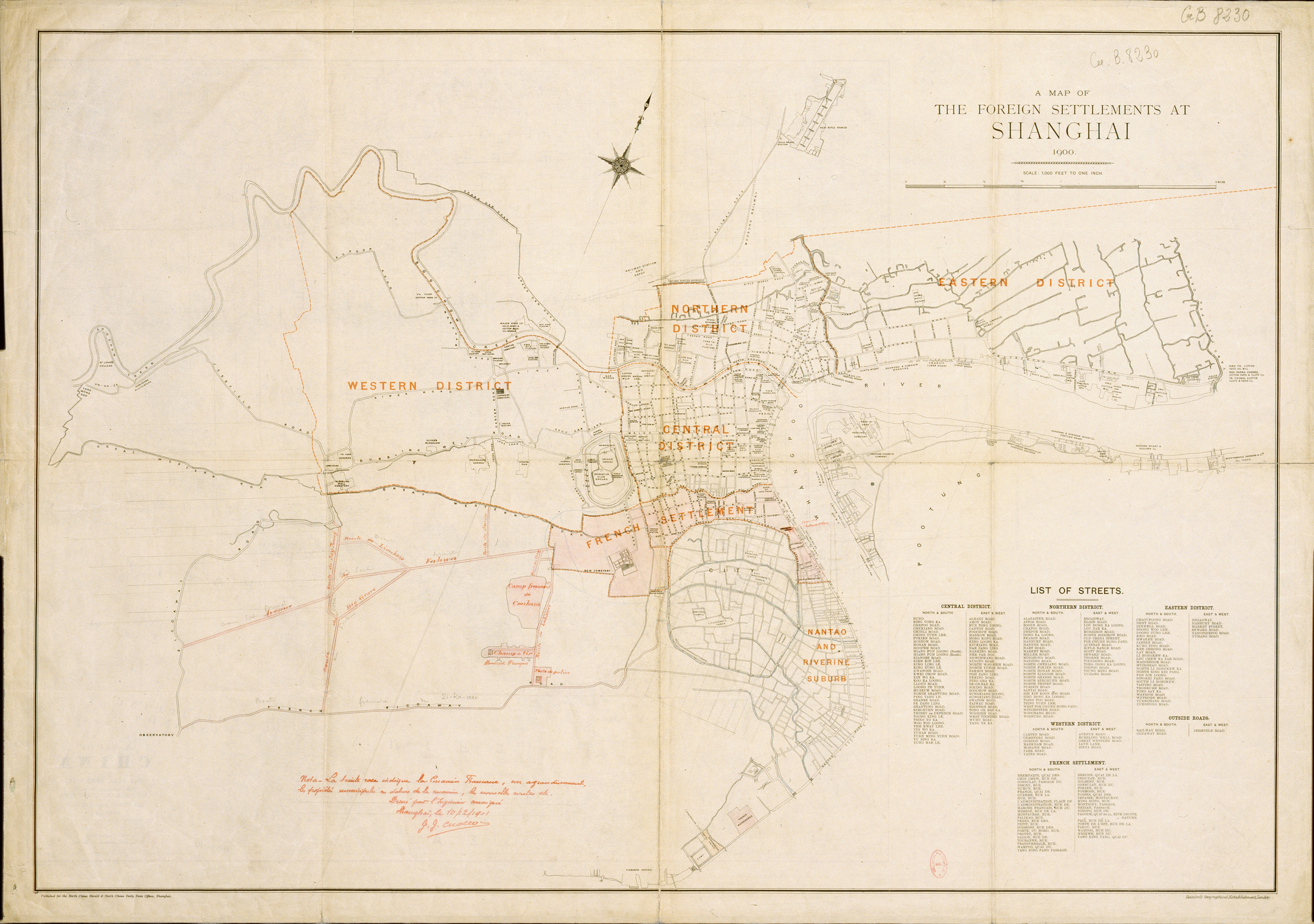
Stanford's Geological Establishment. "1900 A Map of the Foreign Settlements at Shanghai " North China Herald and North China Daily News(1900)
"1970 Map of Beijing" (1970)
Daniel Baicy, M.A., RPA, David Carroll M.A., RPA, Elizabeth Waters Johnson, M.A. and John P. Mullen, M.A., RPA. "Hotel Indigo Archaeological Evaluation and Mitigation at Site 44AX0229" Thunderbird Archaeology(12/01/2020)
"null"
"null"
"1857 Map of Portsmouth New Hampshire" (1857)
"null"
C W Stead. "Map of Trenton about 1776 Drwan by C W Stead" (1926)
John C Fremont and Jessie Benton Fremont. "Fremont's First Impressions The Original Report of His Exploring Expeditions of 1842-1844" University of Nebraska Press(2012)
"1910 Map of Busan" (1910)
Braun and Hogenberg. "1572 Braun and Hogenberg Map of Cambridge" (1572)
"null"
"null"
"1886 Map of Chongqing" (1886)
B S Berensohn. "1853 Map of Hamburg - Neuester Grundriss von Hamburg" G H Friedlein graph in Leipzig(1853)
"null"
"null"
"null"
William MacKenzie. "Plan of Delhi 1857-1858" (1858)
A. M. Bisbee Coast Inspector, assisted by R. Braun. "1887 Map of China East Coast Wusung River Shanghai Harbor" Engraved by Davies and Company(1889)
"null"
"null"
C W Burrage City Surveyor. "1866 Map of the City of Portland" (1866)
"null"
Prudent Beaudry Esq. "1886 Map of a Portion of the City of Los Angeles" (1886)
"null"
"null"
"null"
"null"
"null"
"null"
"null"
Capt F W Beechey R N F R S. "1827 The Harbor of San Francisco Nueva California by Capt F W Beechey R N F R S" (1827)
"1902 Map of Tianjin" (1902)
City of Barcelona. "1859 Map of the neighborhoods of the city of Barcelona and project for its improvements and enlargement" (1859)
Tullio Pescatore. "Holocene Coastal Environments near Pompeii before the A.D. 79 Eruption of Mount Vesuvius, Italy" (1999)
"null"
"null"
"1922 Survey Map of Quanzhou" (1922)
Simon Winchester. "Krakatoa The Day the World Exploded" Penguin UK(2004)
"null"
"Office for National Statistics, United Kingdom 2011" (2011)
Beaulieu, Sébastien de. " Plan de la Ville de Theonville au Duché de Luxembourg, assiègée par l'Armée de Sa Majesté Très Chrestienne Louis XIV" (1644)
"Inference based on dates of surrounding objects"
"null"
"null"
"null"
Timothy Moore. "University of Texas, Department of Classics"
"null"
Livius. "The History Blog"
"null"
Vancouver World Printing and Publishing Co Limited. "1898 Panoramic View of Vancouver British Columbia" (1898)
"null"
"null"
"null"
"null"
"null"
Eberhard Zangger. "Prehistoric Coastal Environments In Greece: The Vanished Landscape of Lake Lerna" (2011)
"null"
Folke Bergman. "Map of Lop Nur by Folke Bergman" (1935)
"null"
Schonberg and Co Acrography New York. "1858 The Harbor and City of Havana" (1858)
"null"
"null"
"null"
"null"
"Genroku 9 Kyoto Daizu 1696 Kyoto Map " (1696)
Kwang-chih Chang, P Xu, L Lu, Xu Pingfang, S Wangping. "The Formation of Chinese Civilization An Archaeological Perspective" (2005)
"1880 Map of Spandau" (1880)
Claude Guillot, Lukman Nurhakim, Sonny Wibisono. "Banten Sebelum Zaman Islam: Kajian Arkeologi di Banten Girang, 932?-1526" Departemen Pendidikan dan Kebudayaan Indonesia(1994)
Mignosa. "Dall’alfabetizzazione alla permeabilità selettiva. Per una proposta di lettura della documentazione epigrafica del Mendolito" EUT Edizioni Università di Trieste(2019)
"null"
"null"
"null"
"Eartha World Travelog" (2000)
"null"
"null"
"null"
"null"
"null"
Henrey McIntyre. "1850 Plan of Marblehead Massachusetts From Actual Survey" (1850)
John Speed. "1617 John Speed Map of Dublin" (1617)
"1910 Map of Seoul" (1910)
Michael Loewe Edward L Shaughnessy. "The Cambridge History of Ancient China From the Origins of Civilization to 221 BC" Cambridge University Press(1999)
"null"
Lieut Colonel Markwood and Calcutta Commissioners of Police. "1784-1785 Plan of Calcutta - Pub Wm Baillie" (1792)
"null"
R. Cecep Eka Permana . "Kajian Arkeologi Mengenai Keraton Surosowan Banten Lama, Banten" Lembaga Penelitian Universitas Indonesia(2004)
"null"
"null"
"10.5281/zenodo.4385591" Zenodo
"null"
"null"
"null"
"null"
"National Geographic" National Geographic
"null"
"null"
"null"
"Rustroff"
"null"
"1750 Map of Seoul" (1750)
Noel Garraux Harrison. "City of canvas: Camp Russell A. Alger and the Spanish-American War" Fairfax County History Commission(1988)
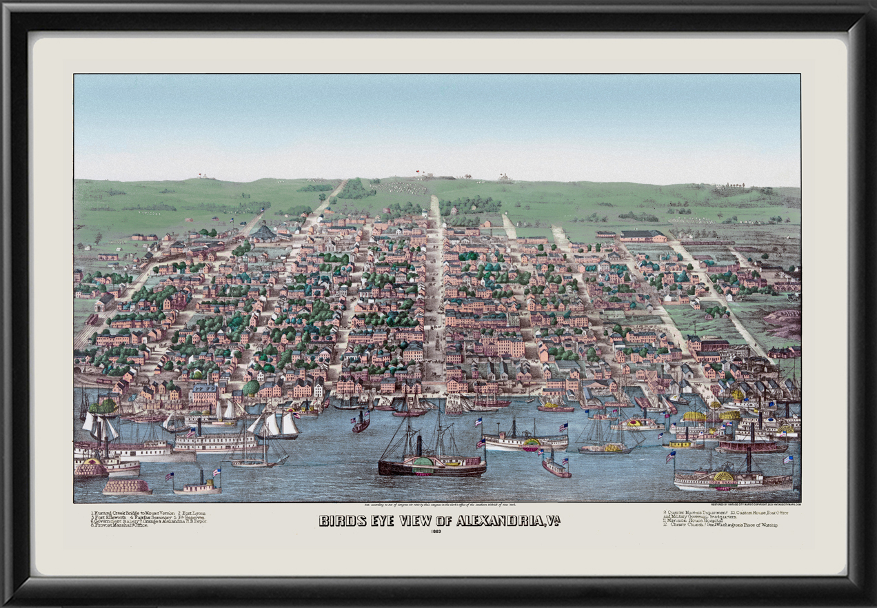
Anna Maas and John P. Mullen. "The Strand Properties: 203 205 211 Strand Street Documentary Study" City of Alexandria(06/01/2017)
"null"
"1687 Map of Gdansk" (1687)
Villalon, Andrew; Kagay, Donald. "Villalon, Andrew and Kagay, Donald, The Hundred Years Wart (Part II)" (2008)
"null"
"EdMaps"
"Amarna Letters" (1332BC)
Henry Gannett, Chief Topographer USGS. "1895 USGS Topographic Map of Seattle" (1895)
Michael D Shin and Lee Injae and Owen Miller and Park Jinhoon and Yi Hyun-Hae. "Korean History in Maps From Prehistory to the Twenty-First Century" Cambridge University Press(2015)
"null"
"null"
"null"
"null"
"null"
Duval, Hélèle. "Duval, Hélène, Les enceintes de Nancy et leur impact sur la ville (XVIe-XXe siecle): archeologie et cartographie dynamique" (2022)
"null"
"Google Maps Indirect Trace" (2010)
"10.5281/zenodo.4387343" Zenodo
Deng, et. al.. "Validating earliest rice farming in the Indonesian Archipelago" Springer Science and Business Media LLC(2020)
"null"
Arqueologia del Peru. "Arqueologia del Peru"
Jörg W.E. Fassbinder. "Beneath the Euphrates Sediments: Magnetic Traces of the Mesopotamian Megacity Uruk-Warka" Ancient Near East Today(06/01/2020)
Collins, Roger. "Charlemagne"
"null"
"1900 Map of Taipei" (1900)
"1885 Map of Chartres France" (1885)
"1180 Map of Berlin"
British Navy. "1841 Part of the Canton River Shewing the Positions of H. M. Ships Comprising the Advanced Squadron" (1841)
N Marriner, C Morhange… . "Geoarchaeology of Beirut's ancient harbour, Phoenicia" Journal of Archaeological Science(2008)
"null"
Wijayati. "JEJAK KESULTANAN BANTEN DI LAMPUNG ABAD XVII (Analisis Prasasti Dalung Bojong)" Raden Intan State Islamic University of Lampung(2017)
Hrn Lesueur and Hrn Boullanger I J. "Plan von Sydney der Hauptstadt der Englischen Colonien in Australien" (1802)
"null"
"null"
Maria A Spyrou et al. "The Source of the Black Death in Fourteenth-Century Central Asia" Nature(2022)
Darrett B Rutman. "Winthrops Boston Portrait of a Puritan Town 1630-1649" (1965)
"10.5281/zenodo.4389023" Zenodo
"null"
"null"
Jalabert, Laurent. "Jalabert, Laurent, Du territoire d'entre deux à a limite : l'espace lorraine à l'épreuve de l'État, XVIe-XVIIIe siècles" Revue de géographie historique(2014)
Herman Brosius. "1872 Bird's Eye View of the City of Dallas Texas" (1872)
"null"
"null"
David Ramos. "Imaginary Terrain"
"null"
"null"
R. E. Lee Russell. "1814 Battle of Baltimore Map by R. E. Lee Russell" (1814)
John Speed. "John Speed Map of Cardiff" (1611)
Hou Ren-zhi. "Ancient city ruins in the deserts of the Inner Mongolia Autonomous Region of China" Journal of Historical Geography, Vol 11, Issue 3 p241-252(1985)
Gyeongbokgung Palace. "Royal Palace Korea Visitor Information Website"
"null"
"null"
"null"
"null"
United States NWS. "United States National Weather Service"
Society for the Diffusion of Useful Knowledge (Great Britain) . "1833 Map of Berlin Published by Chapman and Hall" (1844)
"null"
"null"
William M. Eddy and S W Higgins. "1849 Official Map of San Francisco Compiled From the Field Notes of the Official Re-Survey by W M Eddy" (1849)
"null"
"Joshua Fry and Peter Jefferson Map of Virginia 1751" (1751)
"null"
Col. Milam Survey. "1835 Map of the First Battle of the Alamo" (1836)
"1618 Map of the Hague Den Haag Kaart" (1618)
Charles Poland Jr. "The Glories of War, Small Battles and Early Heros of 1861" AuthorHouse(07/26/2006)
Dietrich Raue, Aiman Ashmawy. "The Tempel of Heliopolis: Excavations 2012-2014" Egyptian Archaeology 46(2015)
Williamson. "1789 Williamson Map of Belfast" (1789)
"Wikipedia and OpenSteetMap Combination"
"null"
"null"
"null"
Lichun ma et al. . "Hydrochemical characteristics and brine evolution paths of Lop Nor Basin, Xinjiang Province, Western China" (2010)
"null"
"null"
"null"
"null"
"null"
"null"
"null"
"null"
"null"
"null"
Wayne Powell, et. al.. "Tin from Uluburun shipwreck shows small-scale commodity exchange fueled continental tin supply across Late Bronze Age Eurasia" Science(11/30/2022)
"null"
"null"
"International Council on Monuments and Sites ICOMOS" (2021)
"Virtual Shanghai Map Collection" Virtual Cities Project
Walter Conley and O E Stelzer . "1833 Conley and Stelzer Map of Chicago" (1933)
"null"
"null"
"null"
A D Bache and A F Rogers. "1857 US Coast Survey A D Bache Superintendent City of San Francisco" (1857)
O. Tribulato and V. Mignosa. "Marking identity through graphemes: A new look at the Sikel arrow shaped alpha" Oxford, Oxbow(2021)
Li Liu and Xingcan Chen. "The Archaeology of China From the Late Paleolithic to the Early Bronze Age" (2012)
"null"
"null"
Zhang et al. Ore Geology Reviews. "History and Economics of Gold Mining in China" (2014)
"null"
"1913 Map of Changchun" (1913)
"null"
"Map of Bergen and Buyten Tuyn showing the1660 Cortelyou plan of Bergen" Jersey City and its Historic Sites(1899)
H W Hopkins. "1878 Outline and Index Map of the City of Halifax NS" Provincial Surveying and Publishing Company(1878)
"null"
"null"
"null"
"null"
"1913 Map of St Malo et St Servan" (1913)
Chev Dezauche. "Carte Topographique du Department de Paris et de ses Environs 1895" (1895)
"Canal Archive.org UK" (2011)
Jean de Courtaulin de Maguellon. "1686 Map of Ayutthaya by Jean de Courtaulin de Maguellon" (1686)
Bill Manley. "The Pengiun Historical Atlas of Ancient Egypt" (1996)
"Sado Kinzan Mine Web" (2015)
"GeoNames"
Jr. Herbert H. Harwood. "Rails to the Blue Ridge: The Washington and Old Dominion Railroad, 1847-1968" (2009)
"null"
"null"
"null"
Tomás J. Filsinger. "Tomás J. Filsinger Map of Tenochtitlan"
"The Clio"
"null"
"null"
"Map of Christiana in 1624-48"
"null"
"1810 Plan of the City of Bath England" (1810)
"null"
"null"
"null"
S C Badger. "1855 Badger Map of Concord NH" (1855)
"null"
"null"
Sapporo City Archives. "1878 A Nostalgic Map from the Development Commission Sapporo Prefecture" (1878)
"null"
"null"
"null"
"null"
"null"
E S Glover. "1876 Glover Bird's Eye View of San Diego California" (1876)
"null"
"null"
"null"
Herrmann Bros., Britton and Rey . "1889 Official map of the County of Santa Clara California" (1889)
"null"
"History's Timeline" (1981)
"Battlefields Then and Now, John Man and Tim Newark" (2001)
"null"
"LIVIUS Articles on Ancient History" (2010)
"null"
"null"
Brockhaus F A. "1897 Map of Cherbourg" (1897)
Hammer, Stone, McMahon. "THE STRUCTURE AND HYDROLOGY OF THE EARLY DYNASTIC CITY OF LAGASH (TELL AL-HIBA) FROM SATELLITE AND AERIAL IMAGES" Cambridge University Press (CUP)(2022)
M Westley. "Westley Map of Birmingham in 1731" (1731)
"null"
"null"
A. P. Folic. "1792 Plan of the Town of Baltimore" (1792)
"Bob Bergantino, Geologist, Montana Bureau of Mines and Geology, Butte, MT"
"null"
"null"
"null"
E Fouache M Ghilardi K Vouvalidis G Syrides S Kunesch S Stiros. "Contribution on the Holocene reconstruction of Thessaloniki coastal plain, Greece" JCR Coastal Research(2008)
"10.5281/zenodo.4389790" Zenodo
"null"
Jacques-Nicolas Bellin. "1749 Plan de la Ville de Siam Ayutthaya" (1749)
"null"
"null"
"null"
"null"
Par N de Fer. "1718 Plan de La Ville et du Chateau de Caen en Normandie" Geographe de sa Majeste Catolique et de Monseigneur le Dauphin(1718)
Moh Ali Fadillah, Darwis Wijaya Utama, Juliadi, Adita Nofiandi, Annisa Farrihatul Auliya. "Lada Atribut Utama Jalur Rempah Banten" Balai Pelestarian Cagar Budaya Provinsi Banten Kementerian Pendidikan, Kebudayaan, Riset, Dan Teknologi(2021)
"null"
Zananiri, Hademenos, Piteros. "Geophysical investigations near the ancient Agora at the city of Argos, Greece" Oxford University Press (OUP)(2010)
Palestine Exploration Fund. "1889 Map of Amman as Surveyed in 1881" Survey of Eastern Palestine(1889)
"10.5281/zenodo.4384904" Zenodo
"null"
"null"
"null"
"null"
"null"
"null"
Michael Livingson. "Michael Livingson.com"
"null"
"null"
"null"
John Hawkesworth. "An Account of the Voyages Undertaken by the Order of his Present Majesty for Making Discoveries in the Southern Hemisphere" (1773)
"1924 Map of Ankara" (1924)
"null"
Major Ryder and Captain Cowie. "1904 Major Ryder and Captain Cowie Map of The Forbidden City Lhasa Tibet" (1904)
"1896 Map of Amiens France" (1896)
"null"
Y Wang, S Ge, G Guo. "Mining Science and Technology: Proceedings of the 5th International Symposium on Mining Science and Technology, Xuzhou, China 20-22 October 2004" (2004)
C Germinario, S Pagano, M Mercurio, F Izzo et al. "Roman technological expertise in the construction of perpetual buildings: new insights into the wall paintings of a banquet scene from a tomb in Cumae (southern …" Acheological and Anthropological Sciences(2022)
"null"
"null"
John Speed. "1611 John Speed Map of Reading" (1611)
"null"
Victor Cunrui Xiong. "Capital Cities and Urban Form in Pre-modern China: Luoyang, 1038 BCE to 938 CE" (2016)
Orléans, Henri d'. "La première campagne de Condé (1643). III. Thionville" Revue des Deux Mondes (1883)
Jesse Morin . "Ritual Architecture in Prehistoric Complex Hunter-Gatherer Communities: A Potential Example from Keatley Creek, on the Canadian Plateau" Cambridge University Press
.jpg)
"null"
"Viennas Ayr Hill In the Civil War" (04/16/2023)
Peter Eeckhout and E Lopez-Hurtado. "Pachacamac and the Inca on the Coast of Peru" Oxford Handbook on the Incas(2018)
"null"
Joseph Meyer. "1860 Meyer Map of Berlin" (1860)
"Match to Adjacent Object in Time"
"null"
"null"
Stanford's Geological Establishment. "1870 Street Plan of the English French and American Settlements Shanghai" North China Daily News and Herald(1870)
Xiaoling Dai. "The Chinese City Suzhou in Seven Hundred Years PhD Thesis Xiaoling Dai 2004 Univ College London" (2004)
"null"
Braun and Hogenberg. "1575 Braun and Hogenberg Map of Edinburgh" (1575)
"null"
Zhouyong Sun et al. "The first Neolithic urban center on China's north Loess Plateau The rise and fall of Shimao" Elsevier Archaeological Research in Asia(2017)
"1641 Plan of the Town New Haven" (1641)
"null"
"null"
"null"
William Woodville Rockhill. "1891 William Woodville Rockhill Map of Lhasa Tibet" (1891)
"null"
"null"
Roger Engelmark and Phillip I Buckland. "The Early Holocene Environment of North Fennoscandia" (2005)
"null"
"null"
"null"
RL Burger LC Salazar J Nesbitt E Washburn L Fehren-Schmitz. "New AMS Dates for Machu Picchu Results and Implications" Antiquity(2021)
"null"
United States Geological Surrvey. "USGS Topographic Maps"
Gideon Shelach, Yitzchak Jaffe . "The Earliest States in China a Long-Term Trajectory Approach" Journal of Archaeological Research, 22(4)(2014)
"null"
"null"
"1919 Map of Miami Florida" (1919)
"null"
"null"
"null"
Sanson, Guillaume. "Sanson, Guillaume, La Lorraine, qui comprend les duchés de Lorraine et de Bar, et les Balliages des évêchés et des villes de Metz, Toul et Verdun" (1674)
"null"
"null"
_-_Geographicus_-_SanAntonioCreek-uscs-1857.jpg)
"null"
"1900 Map of the Colony of Hong Kong" (1900)
"Plan de Nantes Par de Fer 1716" (1716)
"10.5281/zenodo.4357401" Zenodo
"null"
Permana. "Fase-fase Pembangunan Keraton Surosowan-Banten Lama" Wacana Journal of the Humanities of Indonesia(2015)
Eberhard Zangger. "The Geoarchaeology of the Argolid" Deutsches Archäologisches Institut, Berlin(1993)
Bell, Currie. "Albertosaurus (Dinosauria: Theropoda) material from an Edmontosaurus bonebed (Horseshoe Canyon Formation) near Edmonton: clarification of palaeogeographic distribution" Canadian Science Publishing
"Periplus of the Erythraean Sea" (60)
"1875 Atlas of Mercer County NJ" (1875)
USGS. "1902 USGS Topographic Map of San Diego" (1902)
"null"
"Early Indian Tribes Culture Areas and Linguistic Stocks William Sturtevant Smithsonian Institution" (1967)
John Speed. "1611 John Speed Map of Bedford" (1611)
"null"
"null"
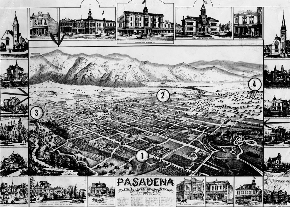
"1886 Map of Pasadena Califronia" (1886)
"Map of Wilmington as of 1772" (1772)
"null"
"1562 Map of Wroclaw Poland" (1562)
Thomas Jefferys. "1749 Sketch of Halifax from the Top of a Masthead" (1750)
"null"
.jpg)
"null"
"null"
"Anglo-Saxon Chronicle" (1154)
J Chadwick. "1725 Map of the Streets Lanes and Alleys of Liverpool" (1725)
"null"
"null"
"null"
"Hudson River Maritime Museum Website" (2007)
"Town and Fortress of Orange - Plan of the Military Fortifications of the City and the Chateau Built by Prince Maurice" Architectura Militaris Moderna(1647)
"1896 Map of Mount Carmel and Haifa" (1896)
Georg Braun. "1568 City Plan of Bristol by Georg Braun" (1568)
Qinglong Wu, Z Zhao, L Liu, DE Granger, H Wang, DJ Cohen. "Outburst Flood at 1920 BCE Supports Historicity of China's Great Flood and the Xia Dynasty" Science(2016)
Yondri, Lutfi. "Kubur prasejarah temuan dari Gua Pawon desa Gunung Masigit, Kabupaten Bandung Provinsi Jawa Barat sumbangan data bagi kehidupan prasejarah di sekitar tepian danau Bandung purba" Universitas Indonesia(2005)
Tummuscheit, Astrid; Witte, Frauke. "The Danevirke: Preliminary Results of New Excavations (2010–2014) at the Defensive System in the German-Danish Borderland" Offa's Dyke Journal(2019)
Giacomo Di Giacomo and Giuseppe Scardozzi. "Multitemporal High-Resolution Satellite Images for the Study and Monitoring of an Ancient Mesopotamian City and its Surrounding Landscape: The Case of Ur" International Journal of Geophysics(08/12/2012)
"null"
"1796 Bradley Map of PA" (1796)
"null"
Stephenson Percy Smith. "Hawaiki The Whence of the Maori Being and Introduction to Rarotongan History" Journal of the Polynesian Society(1899)
NASA. "NASA Landsat Imagery"
"null"
"The Walled City of Jiangyin in 1840" (1840)
"null"
"null"