Creators
Creators, bloggers, YouTubers, TikTokkers, and writers use Running Reality to give their viewers and readers better videos, links to a historical map, or to embed one. Pick a particular day and location in history or show changes over time.
Overview
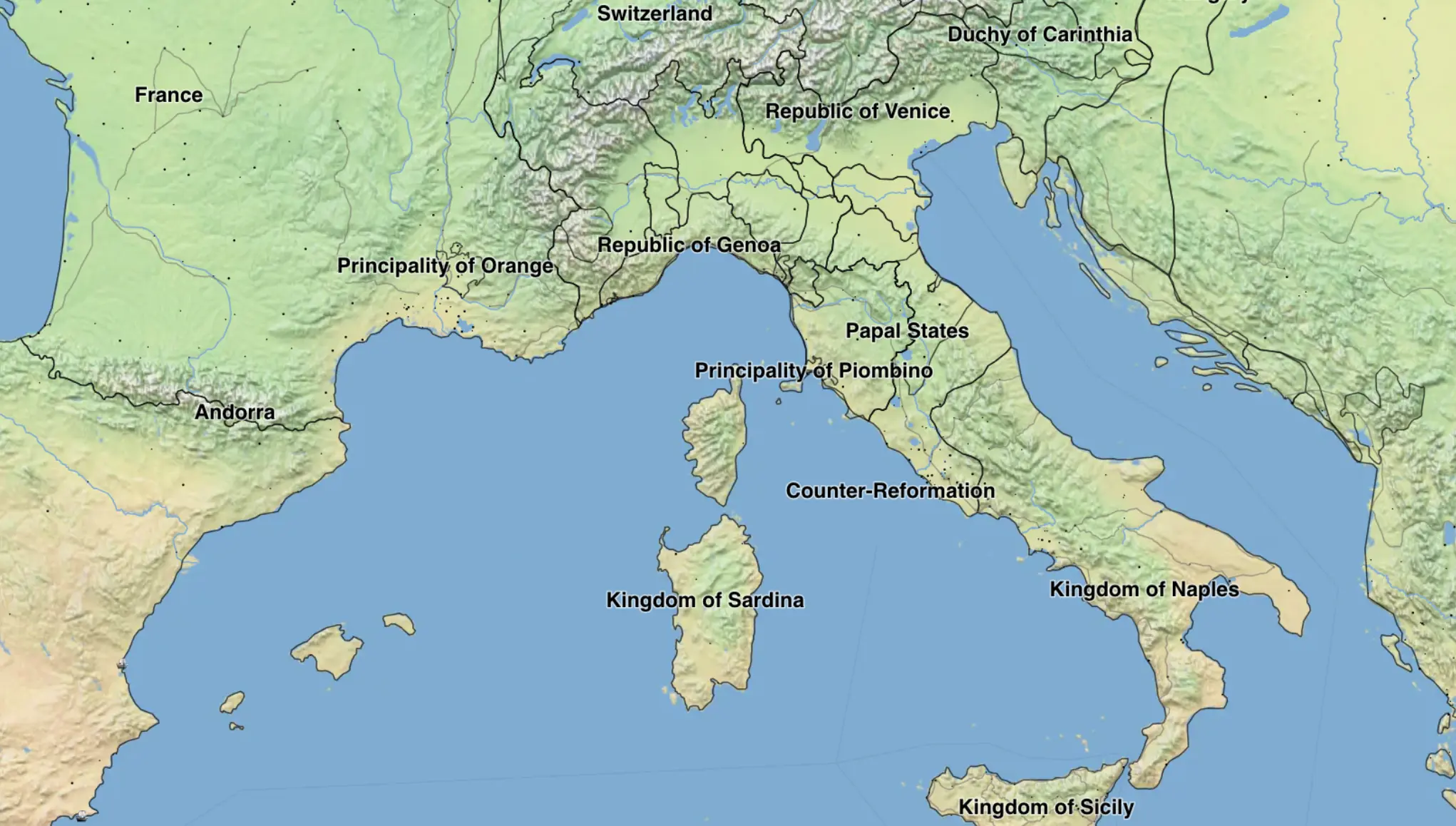
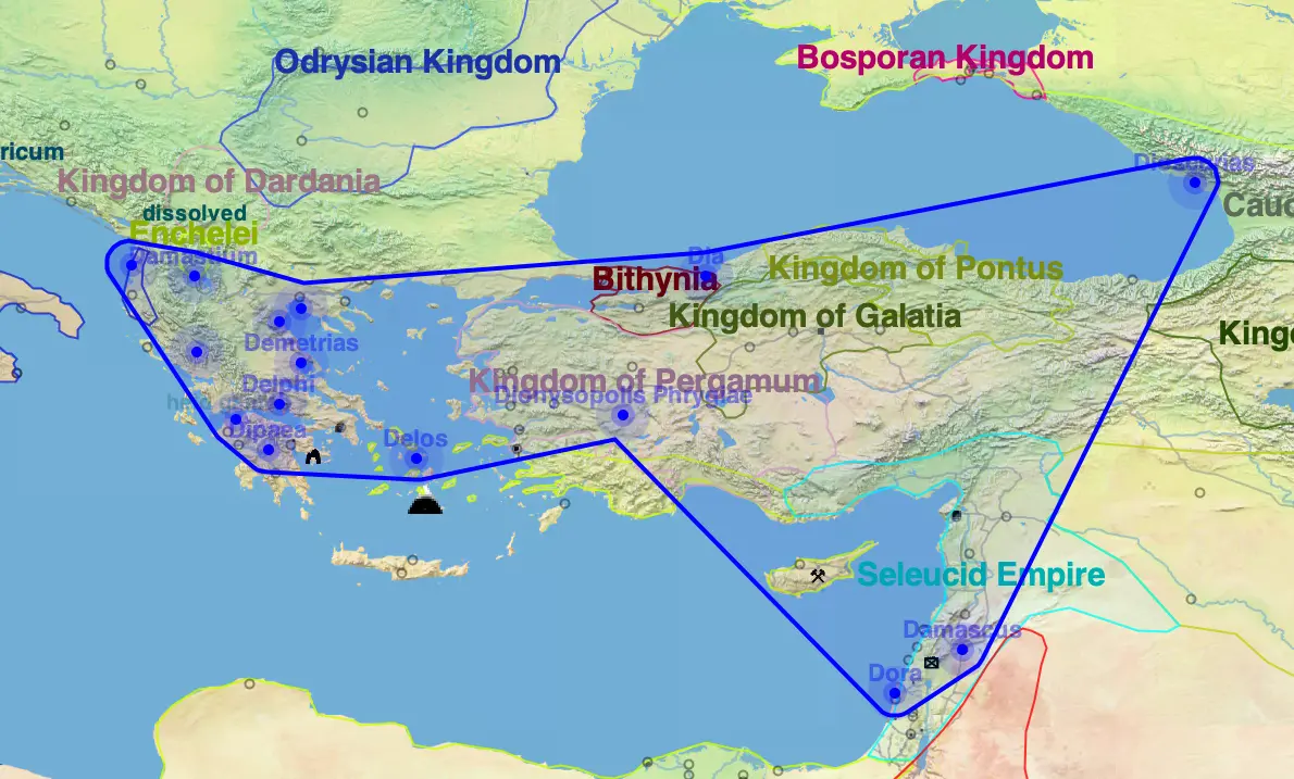
Running Reality tries to show the world as it was on any given date in history and at any point on the world. This lets you quickly place sites in context. As more people contribute to our history model, we'll have more and more detail about nation borders, governments, battles, people, migrations, populations, roads and shipping lanes, and buildings.
Many creators of YouTube, Tik Tok, and other videos use the website version to record quick, simple videos. They love how easy it is so that they can focus on the narrative of history that they want to tell.
Let us know if there are any other features that might help you with video creation. We have been working to add more creator tools and suggestions are welcome. For instance, we recently added the desktop app’s MP4 export with some controls to pre-define date steps and animation frames.
Solutions
Customizing Visualizations
Fully Custom Map
Create Map From Text
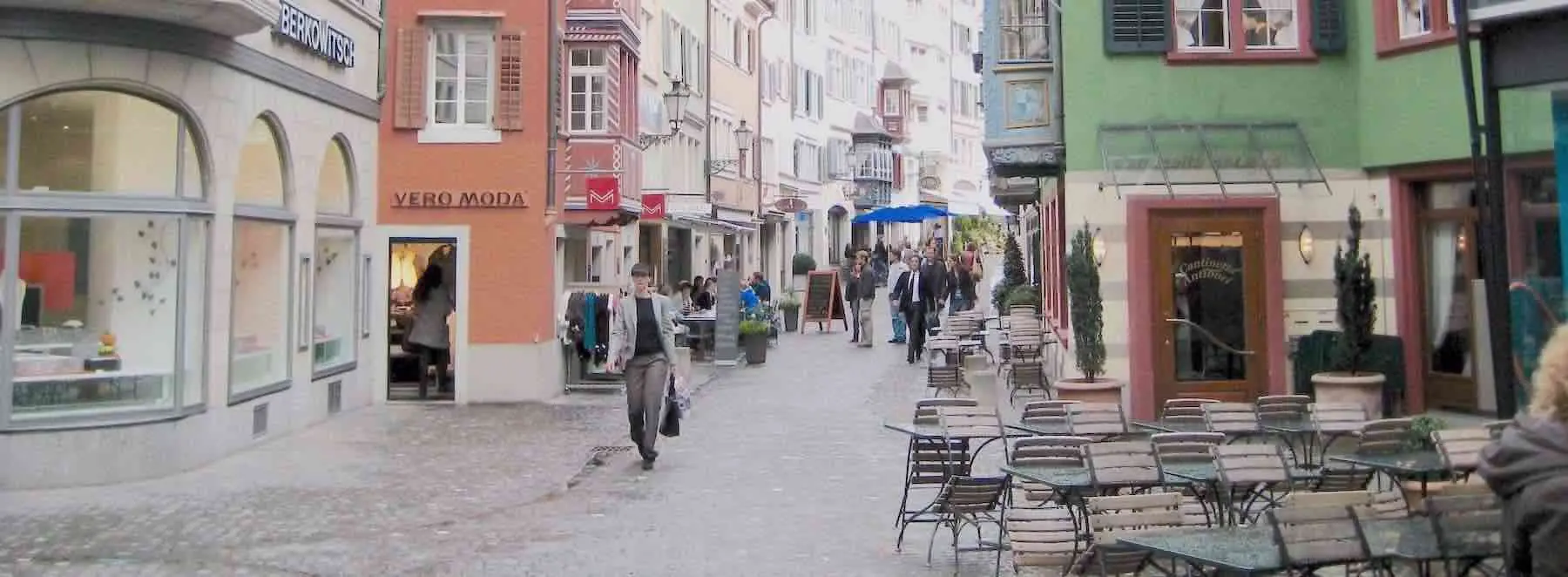
Map Images
From the share menu of the app version of Running Reality, you can embed an image or movie into your own work. You can copy-paste an image of the map directly to your computer's clipboard. You can save a JPEG image of a point in time or save an MP4 movie or GIF animation of a span of time.
Note that the web map uses a Mercator projection but the app uses an equi-rectangular projection. In most cases, you might not notice a difference, but at street level, Mercator keeps right angles looking correct and equi-rectangular can show some distortion. Eventually, we will migrate the app to Mercator.
Citation vs Embedding
If you use Running Reality for your research of directly for your video, we would ask for proper attribution and citation in line with any other cited work.
We have lots of contributors ourselves and we include data from places like Wikipedia and OpenStreetMap that also have many contributors. So, including a link to our site is required and is the way the work of all those contributors can be cited and credited. For specific details, refer to our data use policy:
An alternative is to link to or embed the Running Reality map so that your visitors can access it directly and can find the citations directly themselves. If you like, you can customize the link with the same URL parameters noted above to give people a seamless transition from your video.
Maps are for sharing with all those with an interest in history, including your visitors and audience. You can embed Running Reality maps on your website, using a sharing platform, using a learning management system, or via social media.
Feedback
If you can not find an answer here, or would like to request a feature, please feel free to ask us for help. Send us an email if you would like us to get back to you with a response: